Overview: Wildfires are becoming increasingly expensive and dangerous across the Western United States. Firefighting agencies are responding with computer modeling, advanced topographic mapping, new fire management techniques, sensors, mobile monitors, infrastructure upgrades, and new government innovation programs.
The Scale Of The Problem
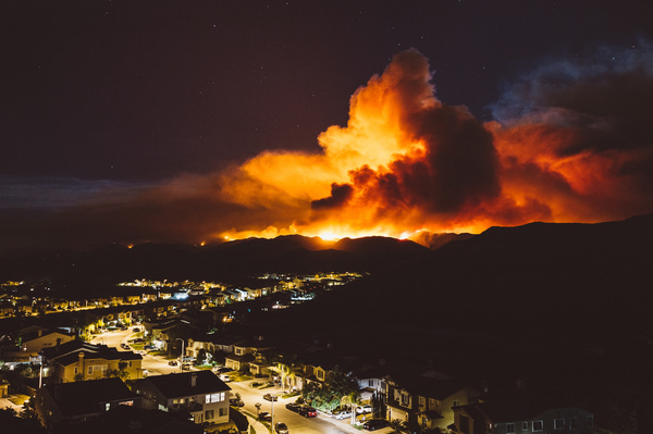
According to a Congressional report, over 17,000 structures burned across ten million acres during 59 fires in 2020 alone. Wildfire numbers, size, and severity have all risen in the last twenty years.
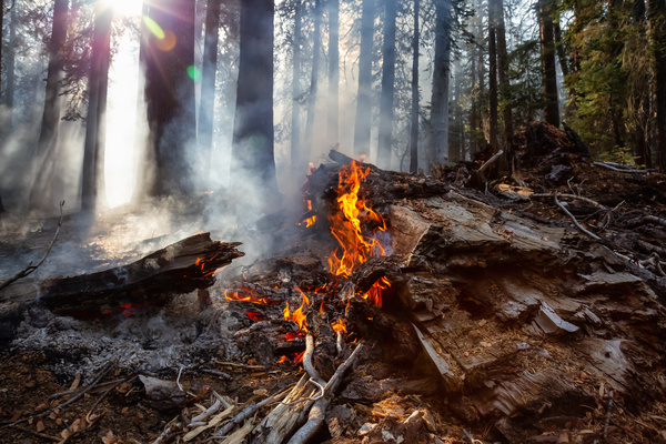
Much of this is driven by climate change, according to the Environmental Protection Agency. While wildfires themselves have a multitude of causes, they can’t burn without fuel. And as the West Coast becomes warmer and drier, more fuel is available to burn.
Adding to the problem is that you can’t put out every fire. Nature has evolved to use natural wildfires to its advantage, and these species will need to be protected in some way. And it has to be remembered that wildfires are 90% of the time, caused by humans, making it as much an issue of education and training as wildlife management.
Finally, the smoke from wildfires can spread across the country and may trigger health concerns both near the fire and hundreds of miles away.
The State Of The Art
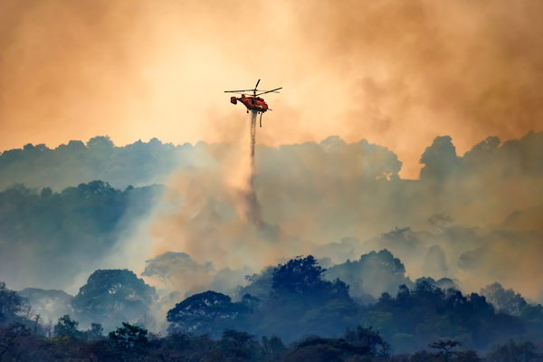
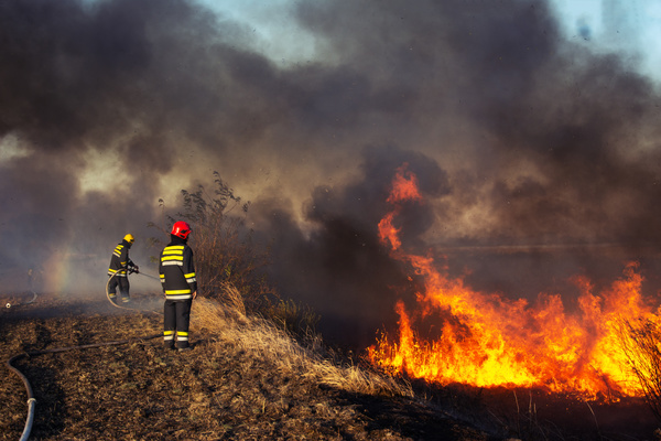
Firefighters have not stood still in the face of the wildfire threat. While some tools, such as water and firebreaks, are a case of not fixing what already works, firefighters are increasingly deploying new technology to keep fires from running wild.
Right now, drones are used to survey remote areas. Predictive models have been deployed to find areas of fuel and remove that dry brush before an idle spark finds it. And heat sensors can find fires before they become unmanageable.
Still, as the problem evolves, there will be upper limits to what current technology can achieve. More innovation is needed, and government innovation, in particular, is working to keep wildfires in check.
Advanced Digital Mapping
Currently, the United States Geographical Survey, or USGS, is scanning the entire country using light detection and ranging, better known as LIDAR. The system, loaded onto a plane, combines a LIDAR scanner, a GPS, and an inertial navigation system, to create topographical maps accurate to four inches of elevation.
This helps on the ground by giving firefighters a better sense of the terrain. However, more accurate elevation data can be combined with weather data, fuel information, and other factors to create more precise models of possible spread, making it possible to get to the fuel before the fire does.
Computer Models
Current computer models use advanced physics simulations to determine where burns will spread. However, they’re most often used to design and manage controlled burns. As those are planned-out conditions that can be more easily predicted.
It can be harder to predict in the wild, and the models can be more challenging to access. This is being approached by putting simulations in the cloud to run faster predictions and make them accessible via cellular signal, even in remote areas. Previous fires are being carefully simulated to improve future predictions, ensuring safety and giving firefighters better tools in the field.
And other models are crowdsourcing reports from both official apps and social media sources to draw attention to areas of concern.
Wildfire Sensors
Many wildfire sensors aren’t even in the Earth’s atmosphere. Satellites are being used to scan for hotspots and smaller fires before they erupt into conflagrations. Yet closer to Earth, more sensors are being deployed to find and stop fires.
Among the next wave are high-definition cameras that use artificial intelligence to sort the smoke of a wildfire from a plume of smoke. If it thinks there’s a concern, the camera alerts a human, and the human makes a judgment call.
In addition, organizations like the Department of Homeland Security are using government innovation competitions to bring together public and private innovators to develop new sensors. They catch smoke in the wild or react to heat that can be easily set up, powered, and tracked with minimal equipment and cost.
Mobile Air Quality Monitoring
The smoke from wildfires can be just as dangerous as the fire itself. In fact, the 2020 fires may have caused thousands of extra deaths on the West Coast, aggravating COVID-19 cases. The problem lies in the fine particles in the smoke. They can be smaller than 2.5 microns but cause respiratory distress, among other health problems.
In addition, many air quality systems aren’t built to move. They’re often anchored in one place to sample air over time. While these stations can be networked, providing data over time, they’re often placed in urban areas with long-term air quality concerns.
The EPA has been running innovation contests to build the next generation of air quality sensors. These not only detect fine particles but they’re also built to be mobile, attached to vehicles to sample air as they drive or take to the field and set up. This will protect public health and also keep firefighters safe in a potentially highly toxic situation.
Infrastructure Upgrades
Outdated electric infrastructure has been responsible for so many fires. Pacific Gas and Electric is going to bury 10,000 miles of them as a prevention measure. At the same time, much crucial infrastructure is also threatened by those same fires.
This is why government innovation is beginning to explore smart grids and other upgrades. By unifying the efforts of multiple stakeholders, it can help grids that detect problems and automatically route power away from faulty equipment.
Inter-Agency Collaboration
Increasingly, government innovation is coming from government agencies working together. The NOAA Hazardous Weather Testbed, for example, unites the National Weather Service and the National Severe Storms Laboratory to take storm-related technology out of research labs and into the field. A similar program has been proposed for fire weather to help state and federal authorities get ahead of fire weather, anticipating when it occurs and stopping its hazards beforehand.
Government innovation is a good starting point for any organization to learn more about innovation strategy. To see how you can build a strong stakeholder-focused innovation process, request a demo.
Most Recent Posts
Explore the latest innovation insights and trends with our recent blog posts.

